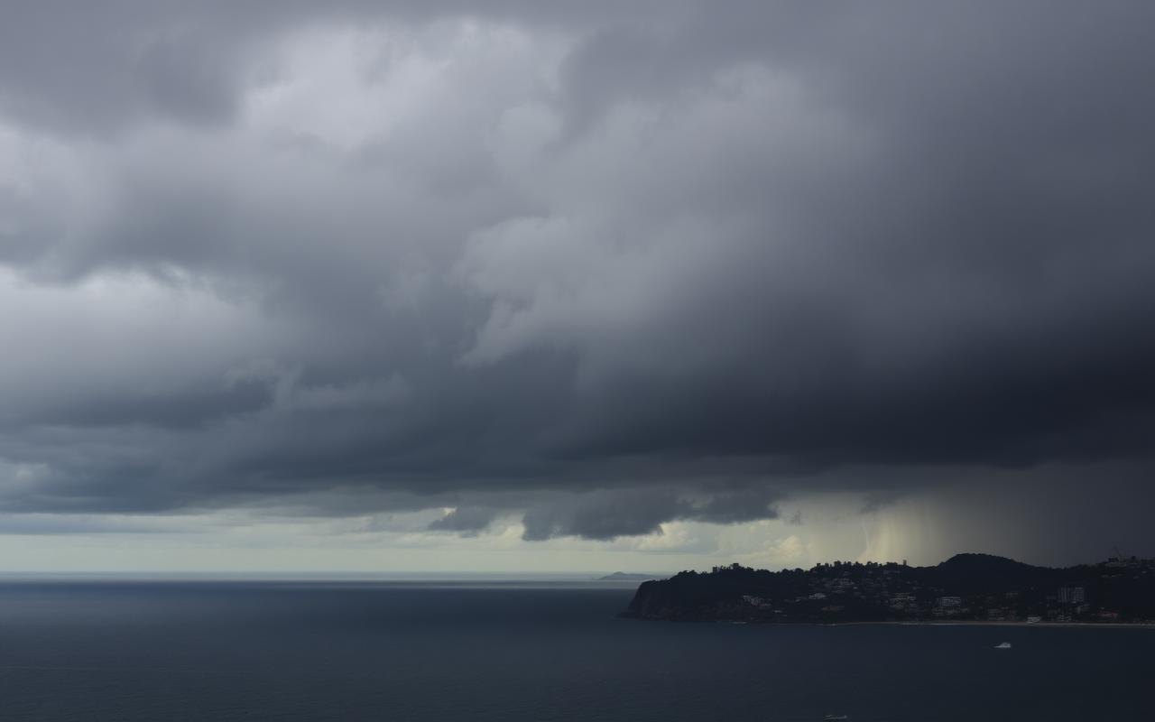
Bureau Forecast Gives Sydney A Showery Sunday But No Local Severe Warning
The Bureau's Sydney forecast points to a cool, showery Sunday with a maximum of 18 degrees and no local severe warning, but a marine wind warning is still active for coastal users.
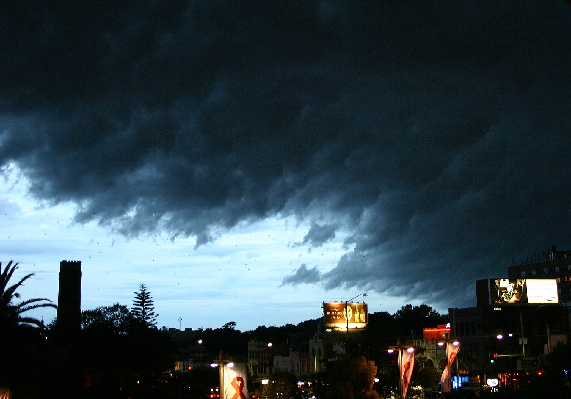
Storm cloud over Sydney. The Bureau's Sydney location forecast showed showers for Sunday while the local page showed no warning for Sydney.
Sydney is heading through a cool, showery Sunday rather than a severe-weather day, with the Bureau of Meteorology's Sydney location page showing showers, a forecast maximum of 18 degrees, an overnight minimum of 12 degrees and rainfall in the 3 to 15 millimetre range during the current check.
The practical message for Greater Sydney is that the weather is still disruptive enough to affect sport, outdoor events, weekend drives and ferry or walking plans, even without a local severe weather warning on the Sydney page. A wet winter day can slow roads, reduce visibility, push families indoors and make outdoor surfaces slippery. It does not need to be an emergency to change the shape of a Sunday.
The NSW warnings summary should still be checked before travel, because conditions can change and marine warnings can matter to coastal users even when the city itself is not under a severe land warning. During this run, the Bureau's NSW warnings page showed a marine wind warning summary, while the Sydney location page showed no warning for the location. That distinction is important for readers who move between land-based plans and boating, fishing or coastal activity.
For drivers, the likely issue is not headline weather. It is routine winter risk: slick roads after showers, darker conditions in the afternoon, puddling around kerbs and reduced stopping distance. People travelling across the Harbour Bridge, the M5, the M4, the Princes Highway or local arterial roads should treat showers as a reason to leave a little earlier, not as background noise.
For event organisers and families, the forecast points to flexible planning. A morning market, sports fixture, birthday party or harbour walk may still be possible, but sheltered alternatives and wet-weather clothing will make the day easier. The Darling Harbour ice rink, theatre matinees, galleries and indoor community events are better matched to the forecast than exposed all-day plans.
The broader weather story is also a reminder that Sydney's winter forecasts vary strongly by suburb. Coastal showers can brush the east while western suburbs stay drier, or a band of rain can make a short trip across the basin feel much longer. Local radar and hourly updates remain more useful than a single citywide headline.
In short, Sunday is a check-before-you-go day. There is no need to overstate it, but readers should use the Bureau forecast, NSW warning pages and live transport or traffic updates before locking in outdoor plans.
The useful habit is to check the forecast twice: once before leaving home and again before the return trip. Sydney's showers can be light enough to ignore at breakfast and still awkward by mid-afternoon, particularly for families moving between train stations, car parks, sports fields and waterfront precincts. A compact umbrella, waterproof jacket and a little extra time are low-cost protections. For people heading onto the water or along exposed coastal paths, the marine warning layer is just as important as the suburb forecast. That practical distinction is what keeps a routine winter forecast useful.
From the desk. Sydney and Surrounds is a practical local newsroom for Greater Sydney. If there is something in your suburb that deserves more attention, we would like to hear about it.